Halibut Point

Halibut Point State Park is along the coast of Massachusetts. According to the park’s website:

Halibut Point is a granite edge between the Atlantic Ocean and the mainland. On this rocky coast, people have quarried the robust stone, built military structures to defend the nation, and today the park supports a wide variety of wildlife.


On a clear day, visitors to Halibut Point State Park will be able to see Mount Agamenticus, located 40 miles away in Maine, and the Isles of Shoals off the coast of New Hampshire. You can explore the park’s trails and tide pools, picnic on the rocky ledges, and learn about the park’s World-War II history and the Cape Ann granite industry history.

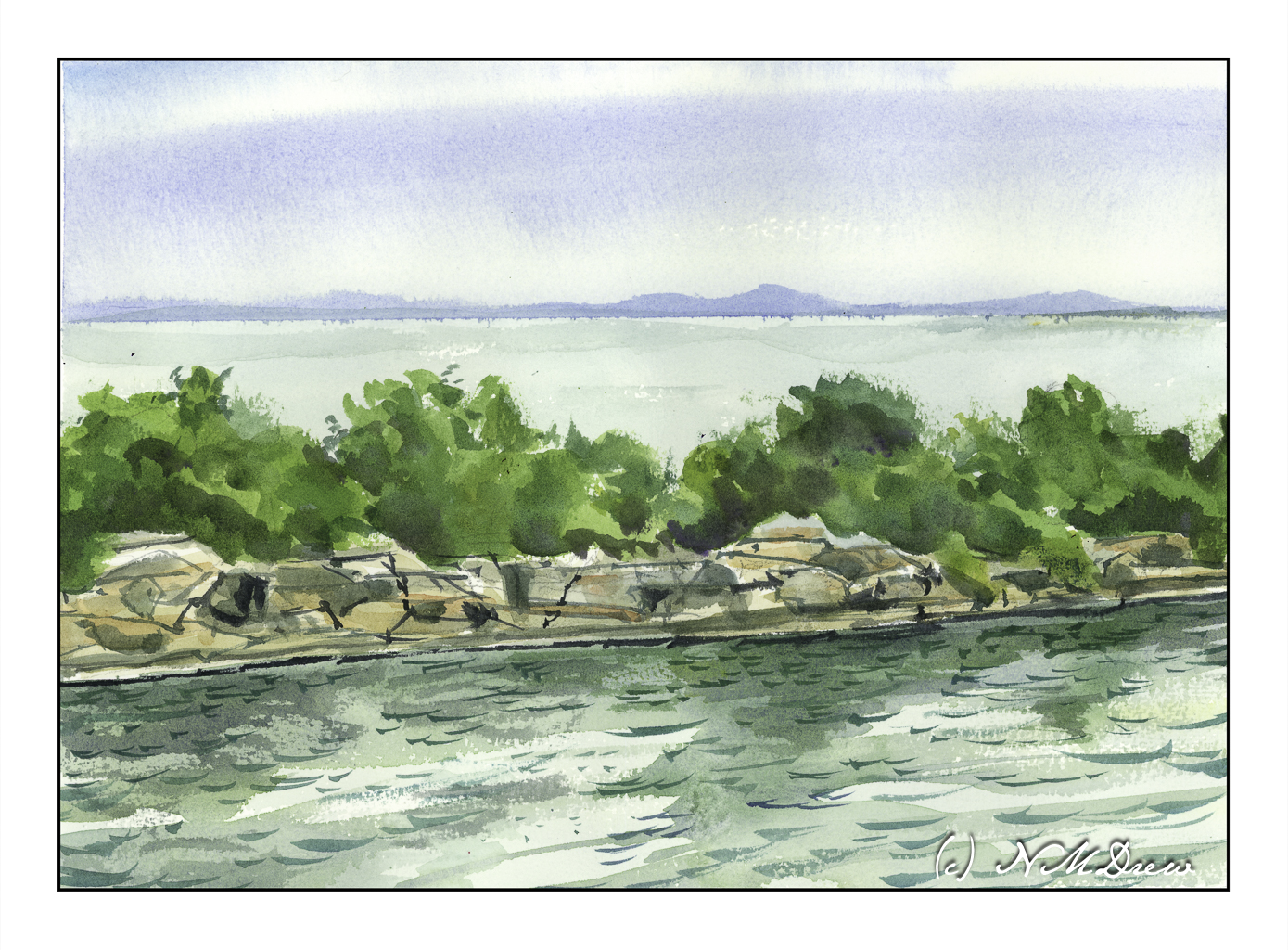
What draws me to Halibut Point is the quarry, its cliffs, and the geometric properties of the stones themselves. Water is everywhere. All these present challenges as the weather changes or the view changes. The East Coast is definitely different than the West Coast!

My focus here is the graphic quality of sky, land, sea, trees, stone, more water. The scene is quite simple but the detail can be a bit overwhelming – I want to be specific and show every leaf and grain of stone and wave in the water. I needed to make it very simple for it to work, keeping the sky and distant land and sea simple before moving to the middle ground trees.

And, I think it does. I like the way my trees tuned out – masses of greens in different value to add depth and suggest the denseness of its growth. The rocks of the quarry walls are filled with straight lines which can be vertical, horizontal, or diagonal. The color of the stone is a rather warm white to ochre, but light, too, renders it warmer or cooler. Finally, the water itself in the foreground. A calm water, but a bit of wind. Reflections in the water and ripples on the surface. More detail, but hopefully not too much.

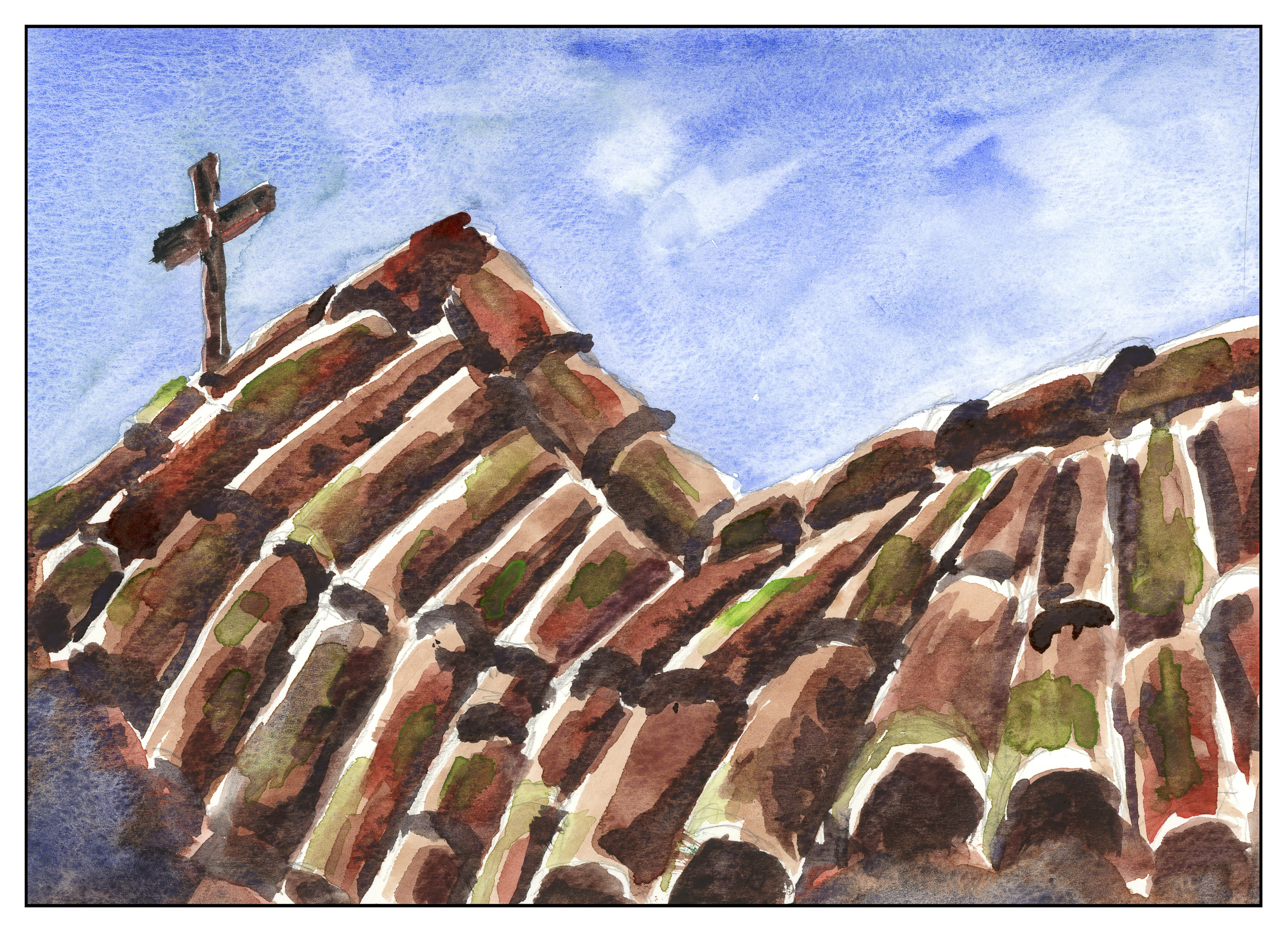
Watercolor, Arches rough 140#, 10×14.

Mission

We went to visit the La Purisima Mission nearby in Lompoc, California.  It’s a state park which is a rebuild of the mission itself, which was destroyed in the 1812 earthquake.  The mission rebuild was part of the Civilian Conservation Corps of the 1930s during the Depression.  This is from a photo of the roof.  The perspective is off, and it’s a bit muddy, but it was a lot of fun trying to figure out how to make the color for the curved tiles.

Tourist Stop: Bodie, California

On the Road to Bodie

For what it’s worth, Josh and I went up Highway 395 to see what the Eastern Sierras has to hold. I’ve never been up there.

High Noon in the High Desert

We decided to visit Bodie, the old silver-mining ghost town. It was amazing – not so much that it was a ghost town, but that at one point, it wasn’t a ghost town.The road in is about 13 miles long, the first 10 of which have been recently blacktopped, but the last 3 of which are gravel and washboard.  We were there under a noonday sun. Historically, about 5% of the original buildings remain, many of which had been destroyed by a fire sometime ago (1920s??).  While it is rather desolate and barren, visiting and learning a bit of its history, you are amazed to see the civilization of an age past come to life.

Click on the images below for the slideshow!

A View Inland – Pano

A View Inland - Pano

I still had my camera on bracketing when I started to do this panorama, and didn’t realize it until we had gotten back to the B&B. I’ve done some adjustments to make it look better. The fact is, it is not a great edit, but I am posting the picture because I think it shows the beauty of Montana de Oro State Park quite nicely – hills to the sea. See?

Sea Treasures

Sea Treasures

Besides Mr. Jolly Orange Feet, there are other wonders to be found at Montana de Oro State Park. We descended into a little cove onto a beach covered with sea detritus. Taking the time to look revealed all sorts of things, from 3 dead birds to sea shells to kelp bladders. The sand, pebbles, and rocks gave a beautiful background to it all.